Gallery Items 1
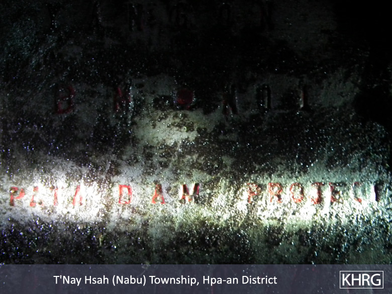


These photos were taken by a KHRG community member on May 31st 2014 in Htoh Kaw Koh village, Nabu Township, Hpa-an District. They show one of the concrete measurement markers that were placed by unknown people at the bottom of Kyet Oo Taung Mountain in 2007. The words on the marker are; IRRIGATION DEMARTMENT, YANGON, BM NO 1, PA TA DAM PROJECT, and AL 130 471 FT. [Photos: KHRG]